Surveying

Our surveying team is led by Development Nous Director Karl Carew, Licensed Cadastral Surveyor and Director Aaron Brittin, Survey Lead.
The survey team is involved in all levels of the development process from initial site investigations and data collection to subdivision scheme designs, construction set out and as built information.
Our site surveying services including:
Urban and rural site surveying including boundary/ subdivision surveying, topographical survey and construction set out surveying
GIS (Geographic Information Systems) data acquisition, analysis and mapping
Title record searches including quickmap, encumbrances, easements, historic titles obscure titles, lost records, maori land records
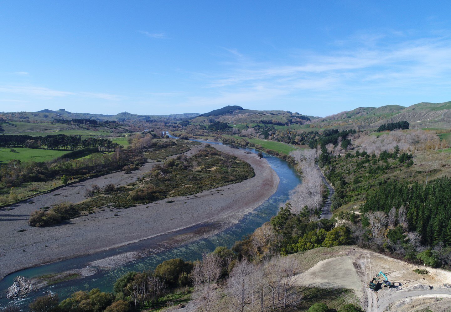
UAV (Unmanned aerial vehicle) mapping and aerial photography
Scheme plans and site layout plans
As-built documentation
